

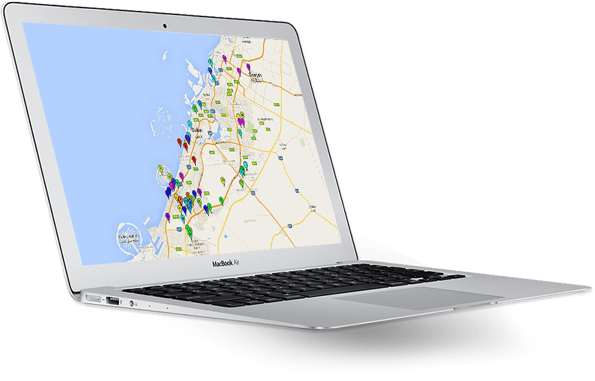
With Smart Geo Apps you can build cost effective Geo enabled applications with optimized time. Optimized insights of your business, through analysis, Data visualization and reports using your spatial data
All the measurements like Finding location coordinates, Measuring distance, Measuring area, Measured in different dimensions are made easy with Smart Geo Apps measurement tools.
Say bye to your entire offline map sharing problems with Smart Geo Apps map share option. You can find ways to share your map online through an Export map, Email map, Bookmark map etc.
With Smart Geo Apps you can able to visualize multiple sources of map services like Utility, Transportation, Telecom and many more map services
Smart Geo Apps provide tools like “point by buffer", “Polygon by buffer", “Polyline buffer" etc, for handling Buffering Analysis.
Now working with “Stops", “Blocks", “Shortest distance finder" etc. Are made easy with Smart Geo Apps Routing Analysis.
The User can build a custom query to search the locations using the selected map service data layer on a specific attribute field.
Smart Geo Apps Geo Analytics feature provide widgets like a Pie chart, Bar widget, Gauge widget for Geo enables BI & KPI Dashboards.
We can integrate map services in any of your existing business systems like ERP, Engineering Systems, Portal, Document Management System, etc using Smart Geo Apps.
We can able to read live feed data from different sours of System like Scada, Sensors, Smart Meters, Vehicle tracking, Manpower tracking build notification and alerts as per the different business rules.
The user can perform trend analysis using the time aware data for Imagery, Spatial data and different sources of big data sources.
UsingtheSmartGeo Security framework, We can able to integrate with ESRI portal for ArcGIS Security framework, AD Authentication, SSO, Role base functions for a different user group.
iSpatialTec is having an expertize to provide end to end geo enabled solutions, Starting from GIS consultancy, Studying the Geo enabled business needs, Strategic planning, Spatial data management, Building IT infrastructure, Geo enabled Web/Mobile/Desktop applications, Integration with different business systems, Live data analysis (Big Data), Geo enabled reports and GIS manpower services (GIS Consultants / Project Managers / Developers / GIS Administrators / Data specialists).
You are the one who knows your requirement better than anyone. We also help you to analyze your business requirements...
We can help to design data models and we can prepare and migrate your data from different sources of formats like CAD, XLX, CSV...
With Smart Geo Apps, We can easily configure your business cases with minimal efforts, Configuration and development...
We can deploy your application as per your requirement. We can deploy it in your server or in our server or even at cloud as well.
We provide GIS operational support, Application enhancement, Spatial data enhancements by following industry standard ITSM methodology.
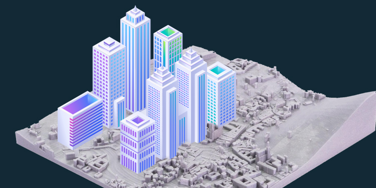
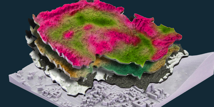
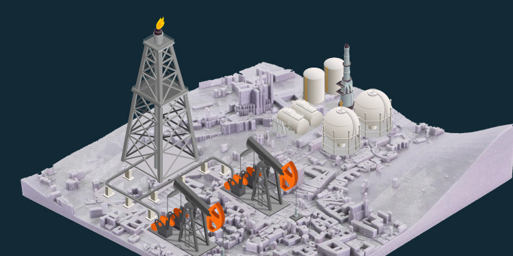

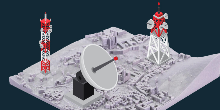
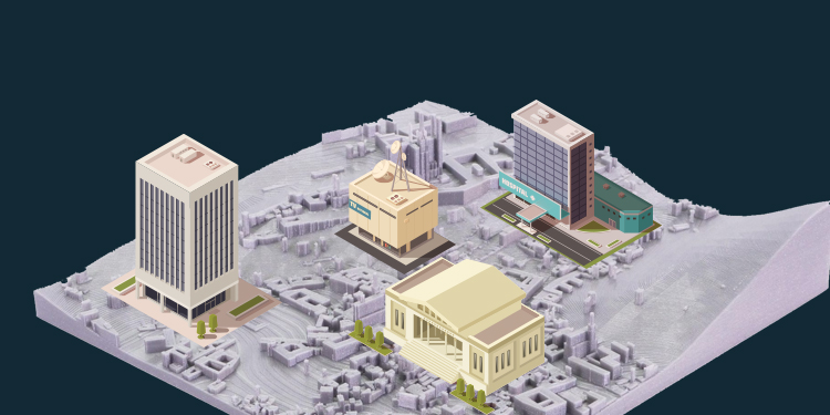
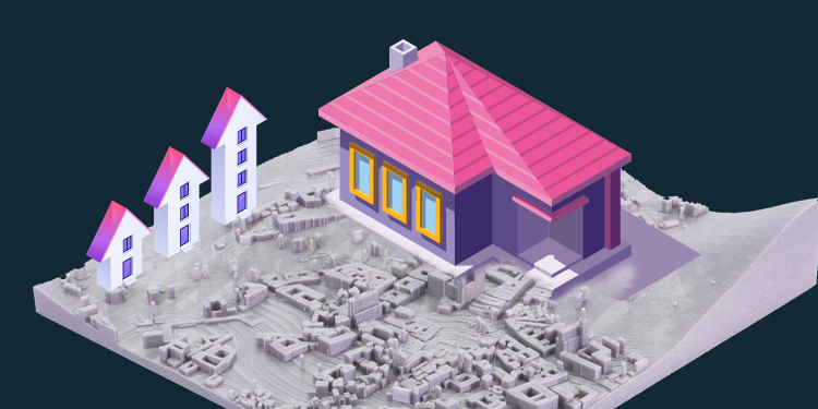



iSpatialTec started with a vision of providing the smart solution to address business challenges and community development. We have successfully built the rapid solution development platforms which will help to quickly deliver high-quality solutions with optimized cost. We deliver the value proposition to our clients in the areas of location based Geo Enabled solutions (GIS - 3D and 2D), Web/Mobility solutions, Business Analytics, Business Process Automation and Enterprise Integration Solutions. Our innovation team is working extensively building solutions using envision technologies like Artificial Intelligence, Deep learning, Augmenting Reality, Virtual Reality, 3D solutions, Automation and Big data analytics. Our Key Success factors are, we have successfully delivered the projects to our client by saving minimum 50% cost and time with high-quality standards. We are very keen finding the right opportunities, finding suitable candidates, architect the solution framework, meeting project time lines and our commitments. Our clients got four major international awards for the solutions which we have implemented. One of the specialized areas of expertise for iSpatialTec is building the geospatial information technology smart solution which will help for Smart City, Smart Village programs, Private and public sectors to manage the Spatial data infrastructure (SDI), ICT4D, building integrated platforms, e-services, business process automation for better planning, execution, Smooth operations, and maintenance.
9707 Waples Street
San Diego, CA 92121, USA
www.ispatialtec.com

